
2.2.9 At-sea surveys
Close to islands
Boats are excellent platforms from which to observe and count seabirds, particularly for birds that are flying further offshore (where they may be harder to count by land-based sea watches), colonies of birds breeding on remote coastlines, aggregations of seabirds foraging at sea, or for seabird surveys in the waters off inaccessible islands. In the latter case, sea-based surveys may be the only way to get counts of seabirds breeding in those areas.
Method
If you want to undertake repeat at-sea surveys, make sure that your method is clearly identified and repeatable. Repeat surveys are extremely useful as they allow for an assessment of seasonal or interannual changes in seabird populations in your study area. For example the method adopted for surveys of the coast of Tutuila, American Samoa,68 is that all seabirds seen from the boat travelling along the coast are counted if they fit into the following categories:
- Any seabirds in flight or resting between the boat and the shoreline,
- Birds occurring inland,
- Birds flying or perching along the shoreline, Birds within 100 m seaward of the boat.
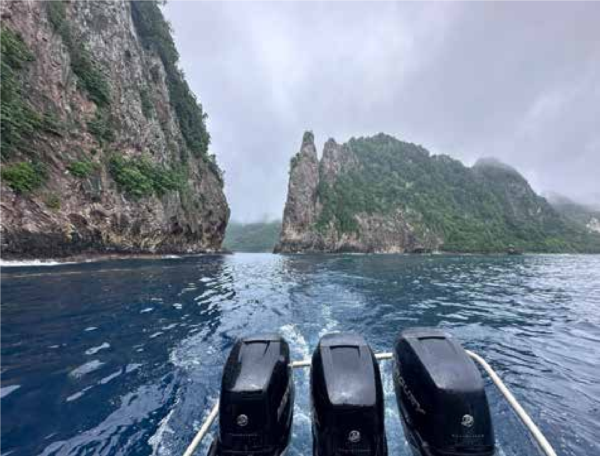
Figure 88. Surveying off the coast of Tutuila, American Samoa. Photo: André Raine
All birds were identified by eye or with the aid of binoculars (Swarovski 8.5x40). For each record, data were collected on an app designed by the project team. Data included time, species, number of individuals, behaviour, and GPS points. GPS points were particularly important to allow the distribution of each species to be plotted and mapped after each survey, along with the location of any breeding colonies. Surveys were undertaken at least twice a year – in May and November – annually. This allowed surveyors to cover the breeding seasons of most seabird species breeding on Tutuila. Doing multiple surveys was particularly important as species such as Bridled Tern, which are a winter-breeding species, were only recorded during November surveys and were absent in May. The methods used above were an abridged version of methods used in earlier surveys in 2000 and 2003 and were carried out in such a way that results could be roughly compared with these historical surveys.69
While standardised surveys are undoubtedly the best way to go for repeat survey efforts, other shoreline or coastal surveys can be more opportunistic. For example, when passing islands on your way to a study site (or even when on holiday), it’s a good opportunity to observe what birds might be visible, and to check what stage they are at with their breeding.
Tree-nesting birds such as Red-footed Boobies can be very visible, while others such as noddies may be more hidden in the trees or in the case of Black Noddies in cliffs and sea caves. In the latter case however, they will be visible flying in and out of their nesting places. This is also true for any birds that breed in burrows or tucked away in crevices or on rock ledges like shearwaters and petrels, although in these cases they typically only come in at night and so will rarely be seen around breeding islands during the day (although some species such as Christmas Shearwaters can be seen during the day). Observations from boats passing between islands, or longer oceanic voyages can be used to collect important data on many of these harder-to-see nocturnal seabird species including identifying key foraging areas (see next chapter).
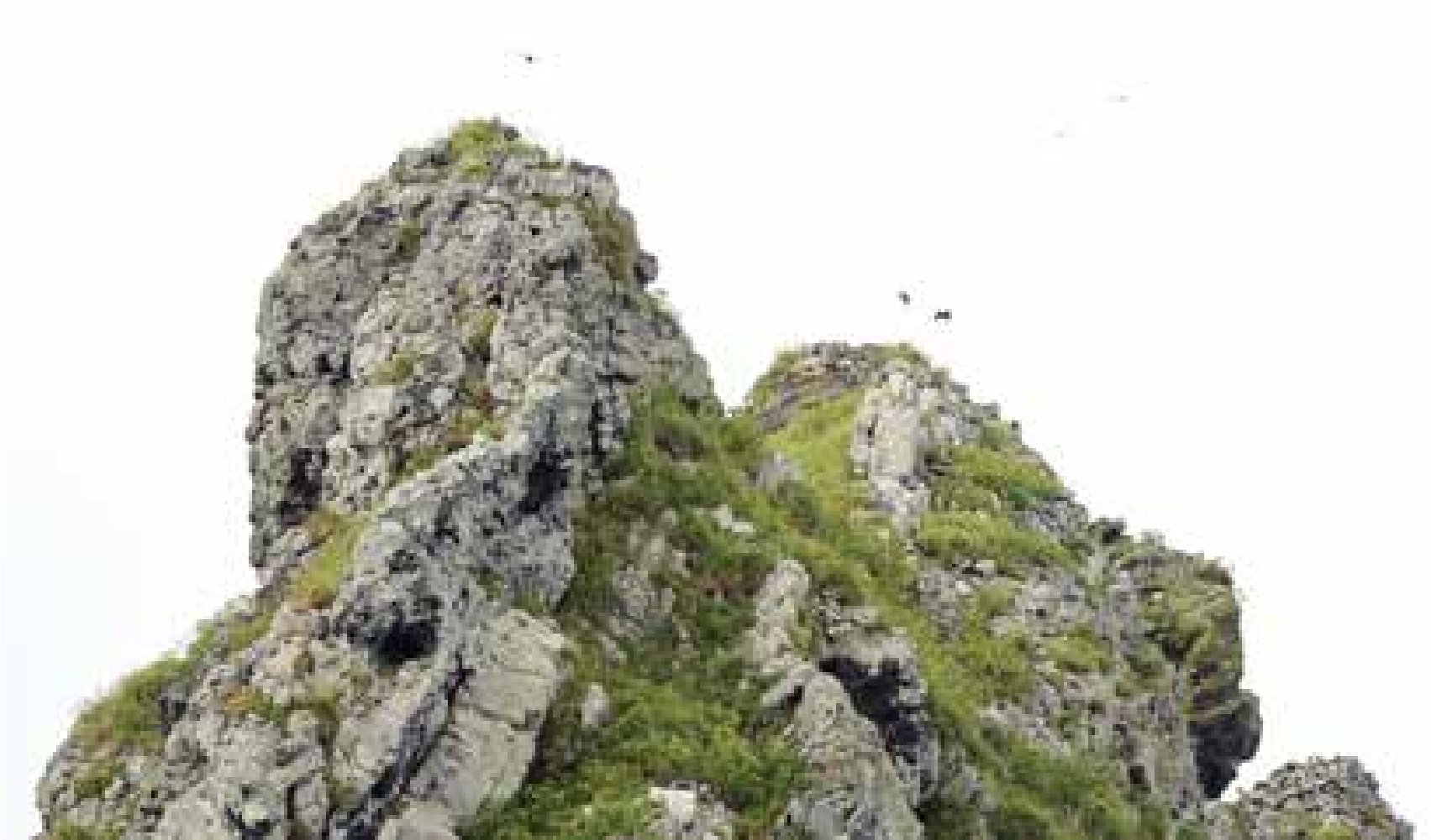
Figure 89. Christmas Shearwaters over one of the stacks at Morotiri, French Polynesia. Photo: Hiroyuki Tanoi.
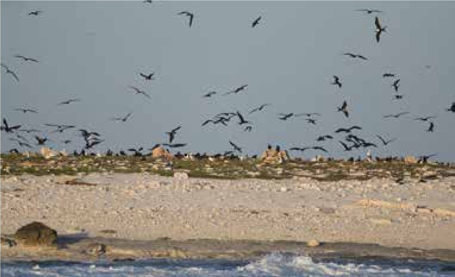
Figure 88. Frigatebirds and boobies, Phoenix Island, Kiribati. Photo: Hiroyuki Tanoi.
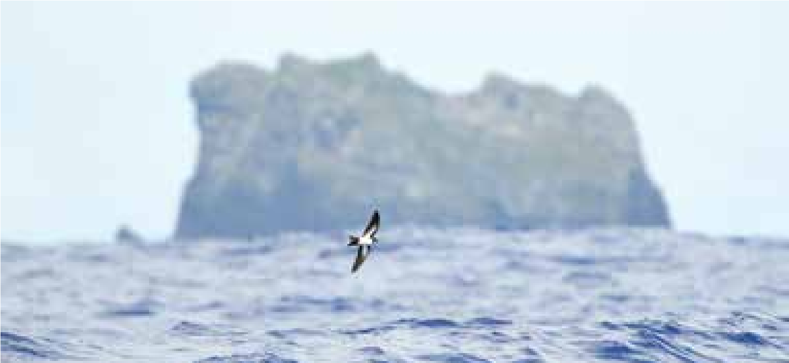
Figure 89. Polynesian Storm-petrel, Morotiri, French Polynesia. Photo: Hiroyuki Tanoi.
Offshore surveys – boat-based
These include trips made in the vicinity of major islands both inside and outside reefs, sometimes into very deep waters, or searching out seamounts, circumnavigations, day trips and multi-day trips (live aboard). They can be undertaken as dedicated seabird surveys, or as part of multi-taxa marine surveys.
Method 1
Every opportunity for conducting boat-based seabird surveys in the Pacific should be seized upon as so few are carried out in the region, and chartering boats can be expensive. The method outlined here requires one or two people with keen eyes, knowledge of species identification (with a focus on identifying seabirds at sea), binoculars, a GPS, a notebook and pen/pencil, and a camera if one is available.
The survey route needs to be logged by GPS from start to finish. Continuous counts of seabirds and seabird activity are made. GPS waypoints are taken every 10 minutes; and species counts collated within each of those periods. Additional waypoints should be taken for any special seabird sightings as well as other pertinent marine activity (e.g., fish and bird work ups, cetaceans, turtles, large fish). Any off-effort periods (when no one is observing and taking notes) also need to be logged.
Sightings should be made looking forward across the bow, either side and out to a distance of 300m. Every bird seen should be recorded and if possible, identified to species. Seabirds seen at sea in the tropics can be very scattered and occasional, but there will be places where the numbers increase, and in some cases grow to very large numbers of highly active birds, especially when foraging over fish schools (e.g., tuna, mackerel). If a camera is available photographs are extremely valuable for confirming identification of species and recording notable activity. This is particularly important for obtaining records of rare species, or species that are inherently hard to identify.
Data collected during the survey is best (or easiest) written into notebooks, or datasheets then transferred to digital spreadsheets while at anchor at night, or after the trip finishes. The data can then be mapped in GIS, with density mapping to highlight hotspots. Conducting repeat surveys at different times of the year is recommended.
The sightings and the route can then be uploaded into an online platform such as eBird - https://ebird. org/about/resources/sharing-your-sightings-on-ebird
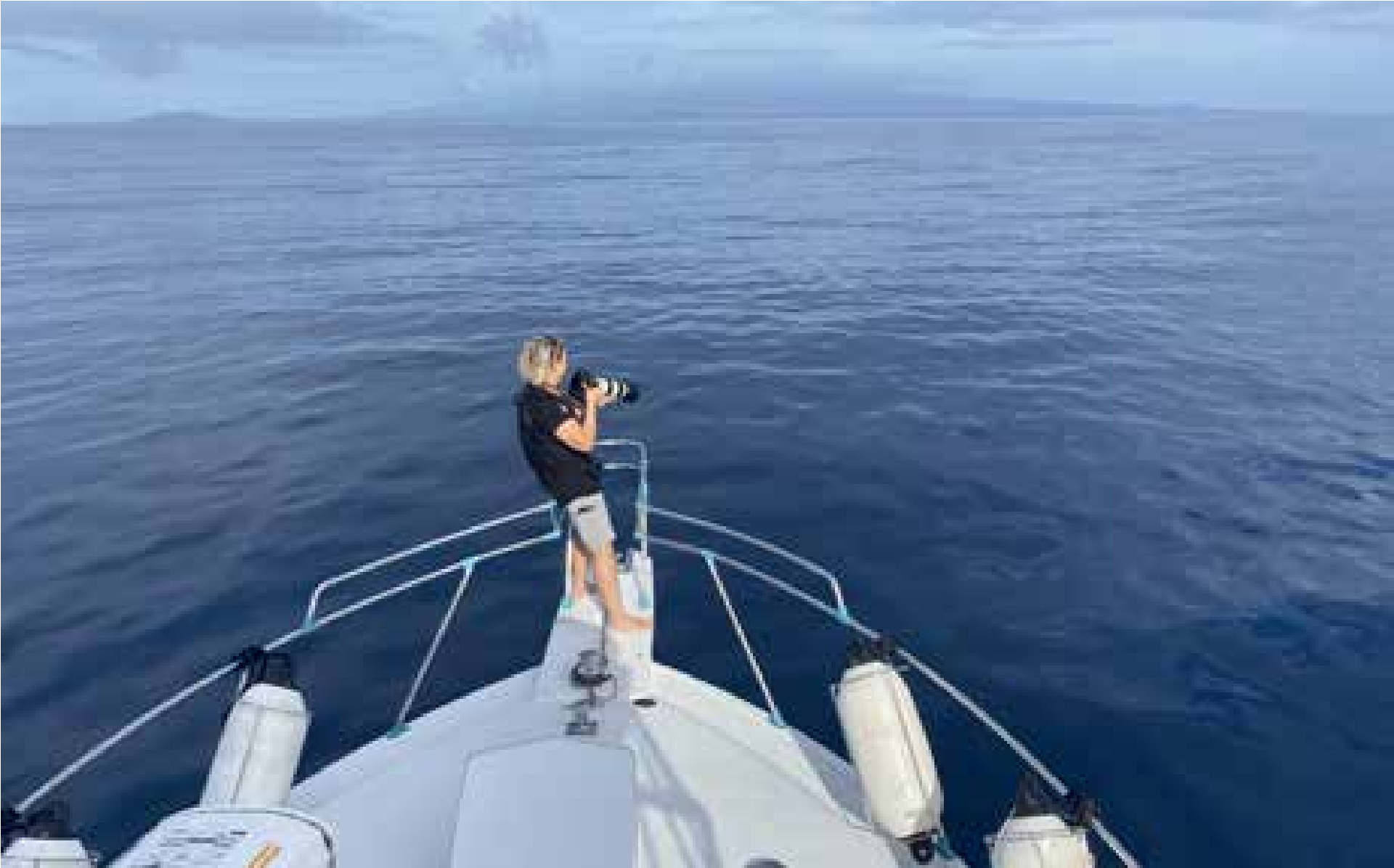
Figure 90. Samoa seabird survey, Upolu circumnavigation, November 2022. Photo: Chris Gaskin.
Method 2
Seabird surveys are an integral part of the California Current Ecosystem - Long-term Ecological Research project70. These are seasonal surveys (winter, spring, summer) primarily in the Southern California Bight. The method outlined below is a much more structured, formal approach which is repeated for every survey and uses a dedicated application for entering observations.
Observations of seabirds are made continuously during daylight ship transits between oceanographic/ plankton sampling stations. The observer, located on the bridge approximately 15 meters above sea level, uses hand-held binoculars and occasionally also a digital camera to assist in the identification and enumeration of birds. The observer records all birds seen within a 300-meter strip transect to one side and front of the vessel while the ship is underway at > 5 knots. Observations are entered into a computer using the dedicated application “DLog”; the ship’s position is automatically recorded from an external GPS every 20 seconds. Each observation includes the species, the number of individuals observed, and their behaviour (mostly “flying” or “sitting on the water”). Observation data are postprocessed using standardised species codes, validation of positioning data, and binning of observations into along-track sections of 3 km in length. The data are then integrated into a survey database that contains data from 1988 to the present. These data are used to derive summary statistics.
Attracting seabirds at sea
The method of attracting seabirds to a boat for viewing is to use a combination of scent, fish oil slick, and food items to lay a trail that draws birds and channels them towards the boat. This can be done as a chum-and-drift setup. Chum is made up of minced fish and fish oil, which is frozen into manageable blocks. Using chum has the advantage of drawing in birds that may not be visible when you start, and a chance to find out the range of species in a particular area. Petrels and shearwaters (Procellariforms) have a highly developed sense of smell, as well as good vision, and they will be attracted upwind towards the source of the scent trail you have made. As birds gather, their activity can attract other birds that see them. For seabirds, finding food at sea is not easy, and they will be curious if they see other birds’ activity. When it comes to collating the data into spreadsheets, the data collected while chumming should be kept separate from the natural occurrence data collected while travelling from place to place.
The value of opportunistic sightings
We know so little about at-sea distribution of many species across much of Oceania. Therefore, all sorts of observations can be extremely useful. These include observations made from ferries, during birdwatching or fishing trips, or on the way to other recreational marine activities such as diving and snorkelling. Identifying species accurately is very important, but even if an exact identification is not possible, a good description of a bird or birds seen can be very useful. Photographs are even better as they can be more closely examined once you are back on land and not bouncing around at sea. If you see birds you do not recognise and have a good camera with a decent zoom lens, take as many photographs as possible obtaining different views of the bird (head on, side, above, below etc). Once you have a sighting, or sightings, you should report or share them to build up a picture of where different species occur. That can be done through online platforms such as eBird - https://ebird.org/ about/resources/sharing-your-sightings-on-ebird and iNaturalist https://www.inaturalist.org/
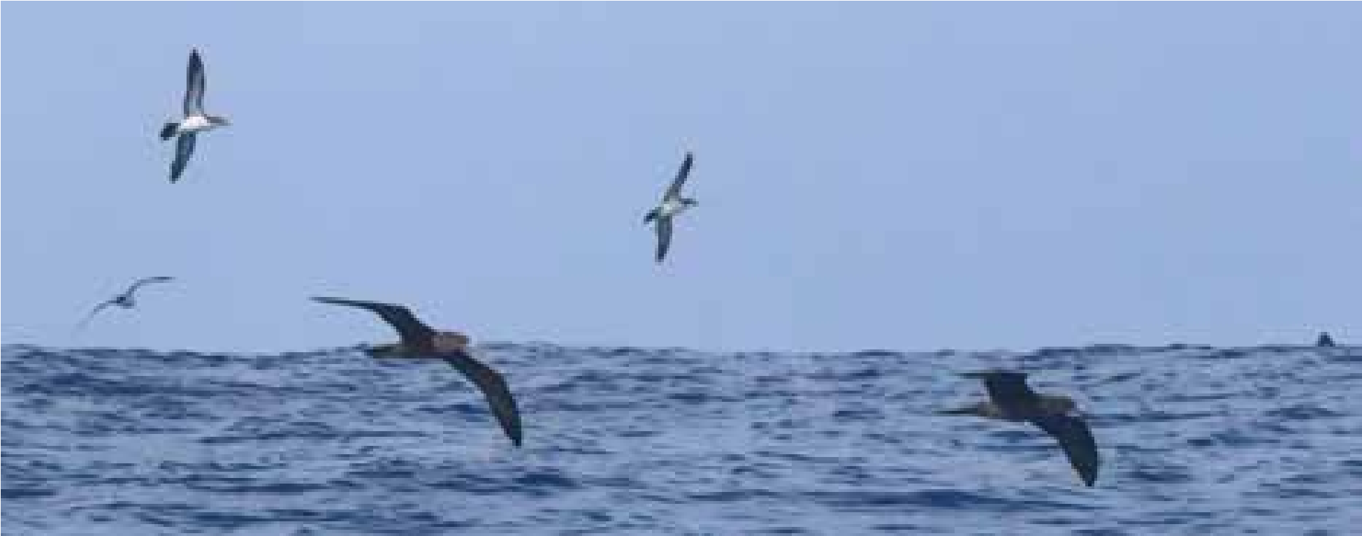
Figure 91. Tropical and Wedge-tailed Shearwaters off Savai’i, Samoa, photographed during a cetacean survey. Photo: Juney Ward.